
Tag: snow

All Highline Public Schools closed Wednesday due to weather; administrative offices remain open
All Highline Public Schools are closed Wednesday, Feb. 5, 2025, due to inclement weather, the...
Read More
Highline Public Schools on 2-hour delay Monday due to inclement weather
Highline Public Schools is operating on a two-hour delay on Monday, Feb. 3, 2025, due to inclement...
Read More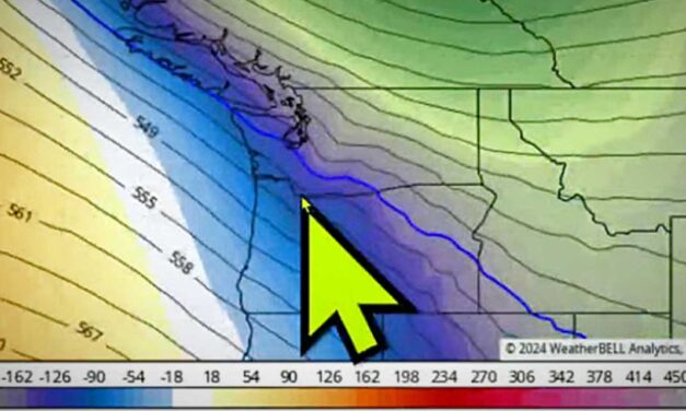
WEATHER: Cold snap coming, and chance of snow sneaks into forecast for later this week
The first cold snap of 2024 should be arriving by Thursday morning – with snow mentioned in the...
Read More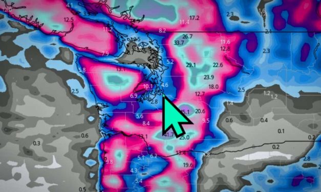
WEATHER: ‘Winter Weather Advisory’ warning for up to 2 inches of snow issued
The National Weather Service issued a ‘Winter Weather Advisory’ starting Saturday night, Feb. 25,...
Read More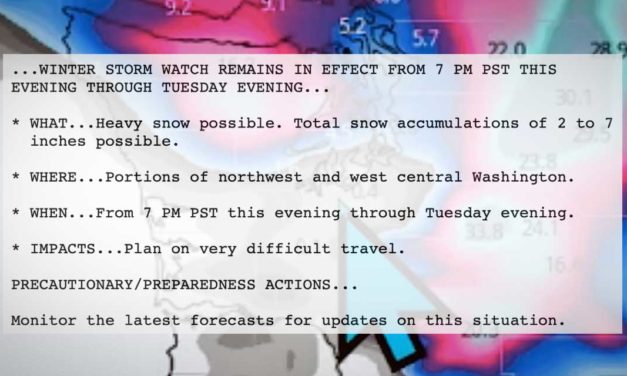
WEATHER UPDATE: ‘Winter Storm Warning’ now says up to 8 inches snow expected
UPDATED DEC. 19, 3:30 p.m.: The National Weather Service on Monday afternoon, Dec. 19, 2022...
Read More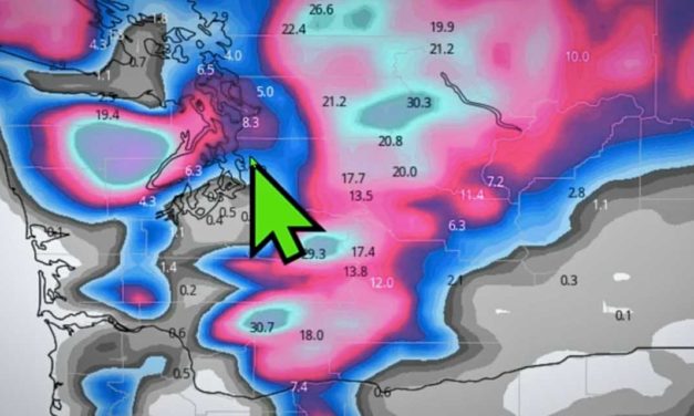
WEATHER: Will it snow this week? Most likely, but rain will fall as well
Local @SeattleWXGuy Michael Snyder concurs with the National Weather Service that we may see some...
Read More
King County Metro Transit activates Emergency Snow Network
During severe winter weather like we have this week, Metro Transit activates its Emergency Snow...
Read More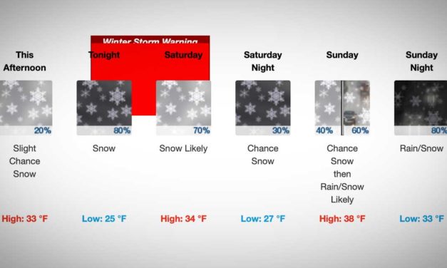
National Weather Service issues Winter Storm Warning for overnight snowstorm
The National Weather Service has issued a Winter Storm Warning – with “heavy snow...
Read More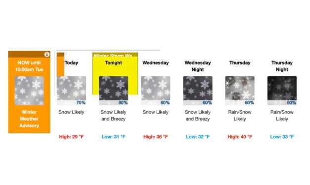
WEATHER: ‘Winter Storm Watch’ issued; more snow possible tonight
The National Weather Service issued a ‘Winter Storm Watch’ early Tuesday morning, Jan....
Read More
WEATHER: ‘Winter Storm Watch’ issued for region starting Sun. afternoon
Early Sunday morning, Jan. 12, 2020, the National Weather Service issued an urgent ‘Winter...
Read More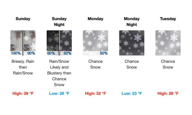
WEATHER: ‘Special Weather Statement’ issued by National Weather Service
The National Weather Service on Friday, Jan. 10, 2020, issued a ‘Special Weather...
Read More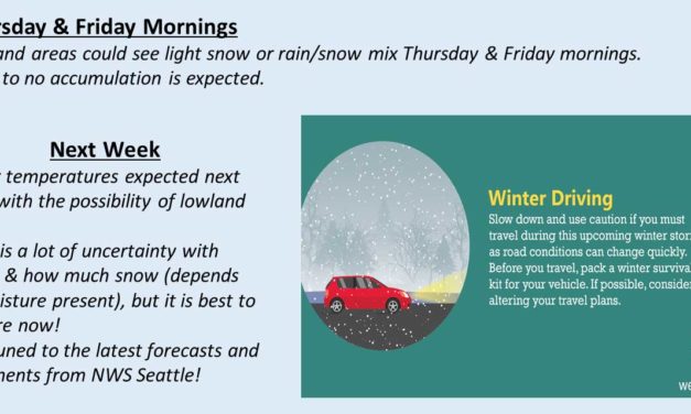
WEATHER: It’ll be colder with a chance of snow starting Sunday
The National Weather Services says there is the possibility for light snow or rain/snow mix in the...
Read MoreSUPPORT LOCAL JOURNALISM

Recent Comments